
|
China University of Mining and Technology (CUMT) |
 |
|
 The academic discipline of Surveying and Mapping Science & Technology in CUMT (founded in 1909) dates back to the first mine surveying undergraduate program in China proposed in 1953. It was the cradle of mine surveying education, at present is also at the pioneering positon of both education and research in China. The ongoing research projects cover Geodesy and Survey Engineering, Cartography and GIS, Photogrammetry and Remote Sensing, Surveying related to Mining and Underground, and so on.
 Geodesy at CUMT: School of Environment and Spatial Informatics
1. Geodesy and Data Processing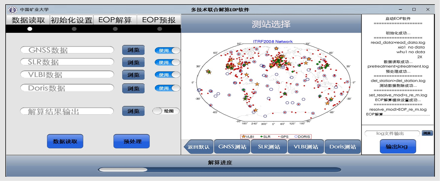 |
2. Indoor Positioning and GNSS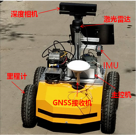  |
3. GNSS Remote Sensing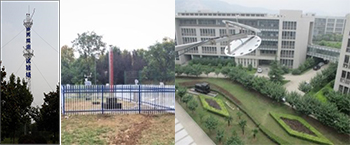 |
4. Surveying related to Mining and Underground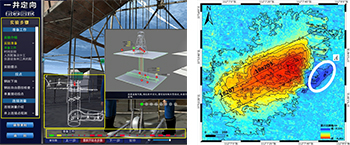 |